Interviews are opportunities to demonstrate your expertise, and this guide is here to help you shine. Explore the essential Field Measuring interview questions that employers frequently ask, paired with strategies for crafting responses that set you apart from the competition.
Questions Asked in Field Measuring Interview
Q 1. What are the different types of field measuring instruments you are familiar with?
As a field measurement expert, I’m proficient with a wide array of instruments. These can be broadly categorized into electronic and traditional methods. Electronic instruments offer increased precision and efficiency. Examples include:
- Total Stations: These highly accurate instruments measure distances, angles, and elevations simultaneously. They’re crucial for surveying, construction, and mapping.
- GPS Receivers (GNSS): These use signals from satellites to determine precise coordinates, vital for large-scale projects and mapping. Different types exist, from basic hand-held units to high-precision geodetic receivers.
- Leveling Instruments: These instruments, like automatic levels and digital levels, are used to establish horizontal planes and determine elevations with high accuracy. Essential for precise leveling and construction works.
- Electronic Distance Meters (EDMs): These measure distances using electromagnetic waves, often integrated into total stations. They offer high accuracy and speed compared to traditional methods.
Traditional methods, while less efficient, still find applications in certain contexts:
- Steel Tapes: These are used for measuring shorter distances requiring less precision, often in conjunction with other tools.
- Measuring Wheels: Helpful for measuring long distances along roads or relatively flat terrain.
My experience spans across many of these instruments, allowing me to select the optimal tools for each specific task based on accuracy requirements, budget, and terrain conditions.
Q 2. Explain the process of calibrating a total station.
Calibrating a total station is a crucial step to ensure accurate measurements. It involves several procedures:
- Setting up the instrument over a known point: This could be a benchmark or a point established with precise coordinates.
- Leveling the instrument: Precise leveling using the built-in compensator is critical for accurate angular measurements. Any tilt will introduce error.
- Performing a zero-circle adjustment: This involves orienting the instrument to a known direction to ensure that the measured angles are correctly referenced.
- Distance calibration: This involves measuring a known distance and comparing it to the instrument’s reading. Adjustments might be needed using internal calibration routines.
- Collimation adjustment (optional): This step, though less frequent, corrects any misalignment between the optical axis and the measuring axis of the instrument.
- Testing and documentation: After each calibration step, the accuracy is verified through several measurements. All calibration results should be meticulously documented.
The specific procedures might vary slightly depending on the total station’s model and manufacturer, and always follow the manufacturer’s guidelines. For example, some total stations have built-in self-calibration routines that simplify the process. Regular calibration, often before and after each major project, is essential for maintaining accuracy.
Q 3. How do you ensure accuracy in field measurements?
Accuracy in field measurements hinges on multiple factors. It’s not just about the instrument; it’s about the entire process. Key aspects include:
- Instrument Calibration: Regular calibration of all instruments ensures they’re working within their specified tolerances.
- Proper Instrument Setup: Correct leveling and orientation of instruments are crucial. Using appropriate tripods and stable setups minimizes errors from instrument movement.
- Environmental Considerations: Temperature, humidity, and atmospheric pressure can affect measurements, especially for long distances. Corrections for these factors might be needed.
- Careful Observation Techniques: Following standardized procedures for taking measurements, double-checking readings, and recording data carefully minimizes human error.
- Redundant Measurements: Taking multiple measurements from different setups and comparing them helps identify and eliminate outliers, improving overall accuracy. This is a form of quality control.
- Data Processing and Analysis: Using appropriate software and techniques for data processing and analysis is essential to account for instrument errors and other potential sources of error.
For instance, in a construction project, ensuring accurate measurements for foundation placement is crucial for the structural integrity of the entire building. Inaccurate measurements could lead to costly rework or even structural failure.
Q 4. Describe your experience with GPS surveying techniques.
My experience with GPS surveying techniques is extensive. I’ve worked with both static and kinematic GPS methods. Static methods involve setting up receivers at points for extended periods (hours or even days) to achieve high accuracy. This is ideal for establishing control points in a survey network. Kinematic methods, conversely, involve continuously moving the receiver while recording data, allowing for rapid data acquisition for mapping and other applications. This is more efficient for large-area surveys.
I am familiar with post-processing techniques, using specialized software to process the raw data from GPS receivers, accounting for atmospheric delays and other error sources to achieve centimeter-level accuracy. I’ve worked on projects where RTK (Real-Time Kinematic) GPS was used, which provides real-time positioning corrections improving accuracy to a few centimeters. My expertise also includes working with different GPS constellations (GPS, GLONASS, Galileo, BeiDou) to enhance reliability and accuracy.
For instance, a recent project involved using RTK GPS to map a large, complex terrain for a pipeline route. The real-time positioning capability significantly sped up the data acquisition process compared to traditional methods.
Q 5. What are the common sources of error in field measurements, and how do you mitigate them?
Common sources of error in field measurements are plentiful and can be classified into several categories:
- Instrumental Errors: These stem from imperfections in the measuring instruments themselves, like miscalibration, component wear, or faulty sensors. Regular calibration and maintenance minimize these.
- Personal Errors: Human errors like misreading instruments, incorrect recording of data, or improper instrument setup significantly affect accuracy. Following standardized procedures and double-checking work are crucial here.
- Environmental Errors: Temperature, atmospheric pressure, humidity, and refraction of electromagnetic waves can distort measurements. Corrections based on atmospheric conditions are often applied.
- Systematic Errors: These errors follow a pattern and are often consistent across multiple measurements. Identifying and correcting systematic errors requires careful analysis.
- Random Errors: These are unpredictable and fluctuate, due to factors outside our direct control. These errors are minimized through redundant measurements and statistical analysis.
Mitigation strategies involve a combination of careful planning, rigorous field procedures, instrument calibration, environmental corrections, and statistical analysis of data. For example, using multiple instruments and comparing their results can help identify and reduce errors.
Q 6. How do you handle challenging terrain during field measurements?
Challenging terrain necessitates adaptation in field measurement techniques. Strategies include:
- Choosing appropriate instruments: In rugged terrain, instruments that can withstand harsh conditions are essential. Robust tripods and protective cases safeguard against damage.
- Employing specialized techniques: Techniques like traversing (measuring a series of connected lines) or triangulation (determining position using angles from known points) become necessary in areas unsuitable for direct measurements.
- Using different survey methods: GPS surveying might be more effective than traditional methods in dense vegetation or steep slopes. A combination of methods may be required.
- Safety Precautions: Ensuring safety for both the personnel and the equipment is paramount. Using appropriate safety gear and following safety protocols is non-negotiable.
- Careful Planning: Thorough planning, which involves understanding the terrain and choosing appropriate access routes, will save time and resources.
For example, when surveying a mountainous region, I would likely use a combination of GPS techniques and total station measurements, prioritizing safety and adjusting procedures to the specific challenges posed by the terrain.
Q 7. Explain your experience with data logging and processing in field measurement.
Data logging and processing are integral parts of modern field measurement. I’m proficient in using various data loggers and software packages. Data loggers automate the recording of measurements, reducing manual errors and improving efficiency. Many modern instruments have built-in data loggers which facilitate data transfer to computers or other devices. After data collection, processing involves several steps:
- Data Cleaning: Identifying and correcting errors, like outliers or inconsistencies, in the collected data.
- Data Reduction: Transforming raw measurements into usable information, for example, calculating coordinates from angles and distances.
- Data Analysis: Analyzing processed data to extract meaningful insights and draw conclusions, such as determining the area of a plot of land.
- Data Visualization: Creating maps, cross-sections, or other visualizations to present the data effectively and communicate findings.
I have extensive experience with various software packages, including industry-standard surveying software. This allows me to efficiently handle large datasets, perform complex calculations, and generate accurate reports. For example, in a recent project, I used software to process data from a total station survey to generate a detailed contour map for a construction site.
Q 8. What software are you proficient in for field data analysis?
My proficiency in field data analysis software is extensive. I’m highly skilled in using industry-standard packages like ArcGIS, AutoCAD Civil 3D, and QGIS. These programs allow me to not only process raw data collected in the field but also to analyze it, create maps and visualizations, and generate reports. For instance, in a recent project involving pipeline surveying, I used ArcGIS to perform spatial analysis, identifying potential conflicts with existing utilities by overlaying the pipeline route with existing utility data. Beyond these, I have experience with data processing software such as Trimble Business Center and MicroStation, enabling me to handle data from various survey instruments.
Furthermore, my experience extends to programming languages like Python, which I use for automating tasks such as data cleaning, transformation, and analysis. I can write scripts to perform complex calculations and integrate data from multiple sources to build comprehensive datasets. For example, I wrote a script to automate the generation of contour maps from point cloud data, significantly speeding up the process and reducing the risk of human error. Finally, I am familiar with various statistical software packages like R and SPSS for performing advanced statistical analyses on the collected data.
Q 9. How do you ensure the safety of yourself and your team during field measurements?
Safety is paramount in field measurements. My approach is built on a foundation of proactive risk assessment and adherence to strict safety protocols. Before commencing any field work, I meticulously review the site conditions, identify potential hazards (e.g., uneven terrain, traffic, electrical lines, weather conditions), and develop a site-specific safety plan. This plan details roles, responsibilities, emergency procedures, and the use of appropriate Personal Protective Equipment (PPE). We always have a well-stocked first aid kit on hand and ensure team members are trained in basic first aid and CPR.
Communication is key. Team members are constantly aware of each other’s locations and activities. We use two-way radios and maintain visual contact whenever possible. For working in high-risk areas or near roadways, we utilize flagpersons or traffic control measures as needed. I firmly believe in a ‘safety first’ culture; if a team member raises a safety concern, we stop work and address it immediately. Documentation of safety procedures and incident reports is meticulous and crucial for continuous improvement.
Q 10. Describe your experience with different coordinate systems.
I possess a comprehensive understanding of various coordinate systems, including Geographic Coordinate Systems (GCS), like latitude and longitude (using WGS84, NAD83 etc.), and Projected Coordinate Systems (PCS), such as UTM (Universal Transverse Mercator) and State Plane Coordinate Systems. The choice of coordinate system is critical and depends on the project’s scope and scale. For instance, a large-scale national mapping project might use a GCS for its overall framework, while localized surveys (e.g., construction site) would benefit from a PCS, minimizing distortion and enhancing accuracy for local measurements.
My experience includes datum transformations, which are essential when working with data from different sources. I’m proficient in using software tools to convert coordinates between different datums (e.g., NAD27 to NAD83) and ensure consistency and accuracy in data integration. Understanding the implications of using different coordinate systems and datums is critical for avoiding errors that can lead to significant discrepancies in project outcomes. I routinely perform coordinate system checks during data processing to guarantee the accuracy and reliability of the final results.
Q 11. How do you interpret and utilize surveying plans and drawings?
Interpreting and utilizing surveying plans and drawings is a fundamental aspect of my work. I begin by carefully reviewing the project specifications, identifying key elements like benchmarks, control points, property lines, and proposed alignments. I then use these drawings as a roadmap for fieldwork, determining the optimal survey strategy and ensuring that the collected data aligns with the plan’s objectives.
I can accurately extract information from drawings, including elevations, distances, angles, and design details. This allows me to effectively plan the survey and set up my equipment in the field, thus minimizing errors and improving efficiency. For example, if a plan indicates the existence of underground utilities, I can incorporate this information into my fieldwork plan to prevent accidental damage. Any discrepancies between the plans and the actual field conditions are carefully documented and communicated to the relevant stakeholders for resolution. Furthermore, I’m adept at utilizing these plans to create ‘as-built’ drawings that accurately reflect the completed project.
Q 12. What is your experience with using leveling instruments?
I have extensive experience using leveling instruments, including automatic levels and digital levels. I’m proficient in setting up and operating these instruments, performing precise leveling procedures to determine elevations. This involves establishing benchmarks, running level lines, and calculating elevation differences between points. Accuracy is crucial, and I’m adept at identifying and correcting potential sources of error, such as instrument maladjustment, refraction, or curvature of the earth (especially for longer lines).
For instance, I’ve been involved in large-scale earthworks projects where accurate leveling is vital for proper grading and drainage. In these projects, I employed precise leveling techniques to ensure the earthworks followed design specifications. I’m also comfortable working with various types of leveling rods and understanding their calibration. My experience also extends to using leveling instruments for construction layout, ensuring structures are built to the correct elevations and grades. Data collected is meticulously recorded and checked for consistency.
Q 13. Explain your understanding of different surveying methods (e.g., triangulation, traversing).
My understanding of surveying methods encompasses a wide range of techniques. Triangulation, for example, involves measuring angles to establish the position of points, forming triangles between known points. This method is often used in areas where direct distance measurement is difficult. Traversing, on the other hand, involves measuring distances and angles along a series of connected lines. This method is commonly used for establishing control points and creating detailed maps of an area. I am proficient in both traditional and modern surveying methods.
Beyond these, I’m also familiar with other methods such as Total Station surveying, which utilizes electronic instruments to measure distances and angles with high precision, significantly improving efficiency and accuracy compared to traditional methods. GPS (Global Positioning System) surveying, utilizing satellite signals, provides three-dimensional positioning data, especially valuable in areas with limited access. I understand the strengths and limitations of each method and can select the most appropriate technique depending on the project requirements, terrain, and desired accuracy. This ensures that the chosen method is the most efficient and cost-effective while maintaining the required level of precision.
Q 14. How do you ensure data integrity in field measurements?
Ensuring data integrity is critical. My approach involves a multi-layered strategy starting with meticulous field procedures. This includes careful instrument calibration before each survey, regular checks during the survey, and rigorous data recording practices – always double-checking measurements and recording units explicitly. All data is digitally recorded, minimizing manual transcription errors. After fieldwork, a thorough data quality check is performed, looking for outliers, inconsistencies, and systematic errors. Data validation is performed using multiple independent methods to ensure accuracy and consistency. For instance, checking angles in a traverse to ensure closure within acceptable tolerances.
I employ quality control procedures throughout the entire process. This involves comparing results obtained from different methods, verifying measurements against existing data (where available), and carefully analyzing error propagation to estimate overall uncertainty. If inconsistencies are found, I investigate their source, and if necessary, repeat measurements or apply appropriate corrections. Furthermore, all raw data and processed data are meticulously archived and documented, allowing for traceability and reproducibility of the results. This transparent approach fosters accountability and trust in the data’s integrity.
Q 15. How do you deal with discrepancies between field measurements and design specifications?
Discrepancies between field measurements and design specifications are a common challenge in field measuring. The key is a systematic approach to identify the source of the error and implement a corrective action. First, I meticulously review the field measurements to ensure accuracy and identify any potential errors in data collection or recording. This involves checking instrument calibration, verifying field notes, and examining the data for outliers. Then, I compare the field data to the design specifications, pinpointing the exact nature and magnitude of the discrepancy.
Possible Causes and Solutions:
- Measurement Error: This could stem from using incorrect instruments, faulty equipment, or human error during data collection. Solution: Recheck measurements using calibrated equipment, and potentially employ a second independent measurement team for verification.
- Design Error: Errors in the design drawings or specifications are also possible. Solution: Consult with the design team to verify the accuracy of the specifications and resolve any discrepancies.
- Environmental Factors: Environmental changes like temperature fluctuations or ground settlement can affect measurements. Solution: Document the environmental conditions during measurement and adjust for any known influences, utilizing appropriate correction factors.
- Construction Variations: Actual construction may deviate slightly from design drawings. Solution: Carefully document all construction variations, comparing them against the original design to determine the acceptable tolerance range.
Finally, I document all findings, discrepancies, and corrective actions taken. This documented evidence ensures transparency and aids in resolving any conflicts that may arise.
Career Expert Tips:
- Ace those interviews! Prepare effectively by reviewing the Top 50 Most Common Interview Questions on ResumeGemini.
- Navigate your job search with confidence! Explore a wide range of Career Tips on ResumeGemini. Learn about common challenges and recommendations to overcome them.
- Craft the perfect resume! Master the Art of Resume Writing with ResumeGemini’s guide. Showcase your unique qualifications and achievements effectively.
- Don’t miss out on holiday savings! Build your dream resume with ResumeGemini’s ATS optimized templates.
Q 16. What is your experience with using electronic data recorders (EDRs)?
I have extensive experience using Electronic Data Recorders (EDRs) in field measuring projects. EDRs significantly enhance efficiency and accuracy by automating data collection and minimizing human error. My expertise spans various EDR models, including those with GPS capabilities, total station integration, and data logging functions.
Specific Applications:
- Data Acquisition: I utilize EDRs to directly record measurements such as distances, angles, elevations, and coordinates, eliminating the need for manual transcription and reducing the chances of errors.
- Data Processing: Many EDRs offer built-in software for data processing and analysis, allowing for immediate quality checks and error detection. This speeds up project turnaround.
- Data Transfer: EDRs seamlessly transfer data to computers and other devices for further processing and integration with CAD software. I’m proficient in using various data formats and transferring data to different platforms.
- Data Management: EDRs allow me to organize and manage large datasets effectively, including metadata (e.g. date, time, instrument details). This allows for efficient project archival and retrieval of data.
In one recent project involving a large-scale land survey, using an EDR reduced data processing time by over 50%, and significantly improved data accuracy, resulting in a more efficient and cost-effective project.
Q 17. Describe your experience with blueprint reading and interpretation.
Blueprint reading and interpretation are fundamental skills in my profession. I’m comfortable working with various formats, from traditional paper blueprints to digital versions. My expertise includes understanding architectural, structural, and MEP (Mechanical, Electrical, and Plumbing) drawings.
My approach to blueprint reading involves:
- Identifying key elements: I begin by identifying the project’s title, scale, revision number, and other key information. I pay close attention to notations, symbols, and specifications outlined in detail sheets.
- Understanding scales and dimensions: Accurately interpreting the scale is crucial for converting measurements shown on the drawing to real-world dimensions.
- Identifying materials and finishes: Blueprints usually specify materials and finishes. Understanding these details ensures accurate field measurements and reporting.
- Interpreting annotations and details: Complex projects often have supplementary detail sheets with specifications or notes. I thoroughly study these to understand the design intent.
For example, when working on a building site, I’ve used blueprints to accurately locate underground utilities, verify the placement of structural elements, and ensure that field measurements align perfectly with the design intent, avoiding costly errors during the construction process.
Q 18. How do you handle adverse weather conditions during field measurements?
Adverse weather conditions pose significant challenges to field measurements. Safety is always paramount, and my approach prioritizes safe working practices. I carefully monitor weather forecasts and postpone measurements if conditions are unsafe.
Strategies for handling adverse weather:
- Safety First: I never proceed with measurements if conditions are unsafe, such as during severe storms, high winds, or heavy fog.
- Appropriate Equipment: I select and use instruments that can withstand the expected weather. Rain-resistant equipment is a must in damp environments, and windproof tripods and accessories are crucial in windy areas.
- Safety Precautions: Appropriate safety measures are implemented, including wearing high-visibility clothing and using safety harnesses for elevated work. A spotter is sometimes helpful.
- Data Management: Weather conditions and any potential impacts on the measurements are meticulously recorded in field notes.
- Alternative Approaches: If conditions are challenging, I may need to adjust the measurement techniques or utilize alternative methodologies, such as employing specialized remote sensing tools when visibility is severely limited.
For instance, during a recent land survey in a mountainous region, unexpectedly heavy snowfall forced a temporary halt to the work, until it became safe to resume. We meticulously documented the weather events and their impact on the survey, and implemented the appropriate safety measures for the workers once we continued the survey.
Q 19. What are your skills in using AutoCAD or similar software for field data visualization?
I’m proficient in using AutoCAD and other similar CAD software for visualizing and analyzing field data. My skills go beyond simply inputting data; I utilize the software’s capabilities for creating accurate drawings, generating reports, and effectively communicating field data to other professionals.
Specific applications:
- Data Import and Processing: I can import field data from various sources, including total stations, GPS receivers, and EDRs, into AutoCAD and process it effectively.
- Drawing Creation: I use AutoCAD to create accurate drawings, maps, and site plans based on field measurements, ensuring precise representation of the measured features.
- Data Analysis and Visualization: CAD software helps visualize the data graphically, making it easier to identify trends, anomalies, and potential discrepancies. This aids in understanding the data.
- Report Generation: I use AutoCAD’s drawing annotation capabilities to create professional reports and presentations.
- Collaboration: The collaborative nature of AutoCAD allows for easy data sharing and collaboration with design teams, improving communication and decision-making.
In one project, my ability to quickly generate accurate AutoCAD drawings from field data significantly reduced the time needed to present initial findings to the client, ensuring a smoother project execution.
Q 20. Explain your understanding of surveying ethics and professional standards.
Surveying ethics and professional standards are central to my practice. I adhere strictly to the guidelines set by professional organizations (mention specific relevant organizations if applicable). This commitment ensures accuracy, integrity, and transparency in all my work.
Key Principles:
- Accuracy and Precision: I strive for the highest level of accuracy and precision in all my measurements and calculations, using calibrated equipment and following best practices.
- Honesty and Integrity: I maintain honesty and integrity in all aspects of my work, accurately reporting all findings, even if they are unexpected or unfavorable.
- Confidentiality: I handle client information and project data with strict confidentiality, respecting client privacy and data security.
- Professional Conduct: I always maintain a professional and courteous attitude towards clients, colleagues, and the public.
- Adherence to Regulations: I comply with all relevant laws, regulations, and standards applicable to surveying practices.
For example, If I encounter a discrepancy during a survey, I immediately inform my client of the findings, clearly explaining the potential implications and recommending appropriate corrective actions. Transparency and openness are key.
Q 21. How do you manage your time effectively during field measurement projects?
Effective time management during field measurement projects is crucial for successful project completion within budget and schedule. My approach involves a structured methodology combining planning, prioritization, and efficient execution.
Strategies:
- Thorough Planning: Before commencing fieldwork, I create a detailed plan outlining all tasks, assigning timeframes and resources. This ensures efficiency and prevents delays.
- Prioritization: I prioritize tasks based on their importance and urgency, focusing on critical measurements first. This ensures the most essential aspects of the project are completed on time.
- Efficient Workflow: I use efficient fieldwork techniques and instrumentation, streamlining the data collection and processing workflows.
- Teamwork and Coordination: If working with a team, clear communication and coordination are key for optimal time management.
- Regular Monitoring: I regularly monitor progress, comparing it to the planned schedule, allowing for timely adjustments and corrective actions if needed.
- Contingency Planning: I always include buffer time in the schedule to account for unexpected delays or unforeseen circumstances.
For example, by carefully planning and prioritizing a recent site survey, and by employing efficient data collection methods, we completed the project ahead of schedule and under budget.
Q 22. Describe a situation where you had to solve a complex measurement problem.
One challenging measurement problem involved determining the exact volume of an irregularly shaped quarry for a large-scale construction project. Standard formulas wouldn’t work due to the complex contours. We overcame this by employing a combination of techniques. First, we used a drone equipped with photogrammetry software to capture high-resolution images of the quarry. This allowed us to create a detailed 3D model. Then, we employed a total station – a high-precision surveying instrument – to take precise measurements at key points, verifying and refining the model’s accuracy. Finally, we used specialized software to calculate the volume of the 3D model, accounting for all the irregularities and variations in the terrain. This multi-faceted approach provided a highly accurate volume calculation crucial for material estimation and project planning.
Q 23. How do you communicate technical information effectively to non-technical audiences?
Communicating technical information to non-technical audiences requires a shift in perspective. I avoid jargon and technical terms whenever possible, opting for clear, concise language and relatable analogies. For instance, instead of saying “The angular deviation exceeded the tolerance limit,” I might explain, “The angle was off by more than we could allow, like trying to build a wall with bricks that aren’t straight – it would be unstable.” Visual aids, such as diagrams, charts, and even simple sketches, are incredibly effective in conveying complex concepts. I often use storytelling to make the information more engaging and memorable. The goal is to ensure everyone understands the key takeaways, even if they don’t fully grasp the technical details.
Q 24. What are your experience with different types of measurements (linear, angular, volumetric)?
My experience encompasses all three types of measurements: linear, angular, and volumetric. Linear measurements, such as the length of a building or the distance between two points, are routinely performed using tape measures, laser distance meters, and total stations. Angular measurements, crucial for surveying and construction, are measured using theodolites and total stations to determine angles between lines or surfaces. I’ve extensively used these instruments in tasks ranging from land surveying to setting out building foundations. Volumetric measurements, involving the calculation of volumes of solids or liquids, have been undertaken using various methods depending on the shape and accessibility of the object. For simple shapes, mathematical formulas are applied, while for complex shapes, 3D modelling and photogrammetry are used, as described in a previous example.
Q 25. Describe your proficiency in using various field measuring tools (e.g., tape measures, laser distance meters).
I’m proficient in using a wide range of field measuring tools. Tape measures are used for quick, straightforward linear measurements, while laser distance meters offer greater speed and accuracy over longer distances. Total stations are essential for highly precise measurements involving angles and distances, often in challenging terrain. I’m also experienced with using levels to establish horizontal planes and GPS receivers for geospatial positioning. My expertise extends to understanding the limitations and appropriate applications of each tool, ensuring accurate and reliable measurements in diverse settings.
Q 26. How do you maintain and care for field measuring equipment?
Maintaining field measuring equipment is crucial for ensuring accuracy and longevity. This involves regular cleaning and inspection for damage. For example, tape measures need to be cleaned regularly to remove debris and checked for any tears or kinks. Laser distance meters should be kept clean and their lenses protected from scratches. Total stations require more meticulous care, including regular calibration and checks for alignment. Proper storage in appropriate cases and adherence to manufacturer’s guidelines are also vital. Prompt attention to any signs of malfunction ensures that the equipment remains in optimal condition and delivers reliable results.
Q 27. Explain your understanding of the legal and regulatory aspects of field measurements.
Understanding legal and regulatory aspects is critical in field measuring. This includes adhering to local and national standards, ensuring the accuracy of measurements, and correctly documenting procedures. For example, in surveying, adhering to local land registration regulations is crucial. Correctly using and maintaining equipment to meet specified accuracy standards is legally necessary for many projects. Understanding these legal and regulatory standards ensures compliance and reduces the risks of legal disputes and project setbacks. Furthermore, proper documentation of measurements and methodology is essential for transparency and accountability.
Q 28. What are your career goals related to field measuring?
My career goals center on becoming a leading expert in advanced field measurement techniques, especially those employing cutting-edge technologies like laser scanning and drone photogrammetry. I aim to contribute to innovative solutions in fields such as infrastructure development and environmental monitoring. Ultimately, I want to lead teams, mentor junior professionals and contribute to the advancement of the field through research, collaboration, and sharing of knowledge.
Key Topics to Learn for Field Measuring Interview
- Data Acquisition Techniques: Understanding various methods for collecting field data, including GPS, total stations, and laser scanners. Consider the accuracy and limitations of each method.
- Data Processing and Analysis: Proficiency in using software to process raw field data, perform calculations, and create accurate maps and reports. Practice interpreting processed data to identify trends and anomalies.
- Survey Equipment and Instrumentation: Demonstrate familiarity with different types of surveying equipment, their functionalities, maintenance, and potential sources of error. Be prepared to discuss calibration procedures.
- Coordinate Systems and Projections: A strong grasp of different coordinate systems (e.g., UTM, State Plane) and map projections is crucial. Practice converting between different coordinate systems and understanding their implications.
- Field Procedures and Safety: Showcase knowledge of safe field practices, including proper site preparation, equipment handling, and hazard mitigation. Understanding relevant safety regulations is essential.
- Error Analysis and Quality Control: Be prepared to discuss methods for identifying and minimizing errors in field measurements. Understanding statistical analysis techniques for assessing data quality is highly beneficial.
- Legal and Regulatory Compliance: Familiarity with relevant regulations and legal requirements pertaining to surveying and land measurement in your region is vital.
- Problem-solving and Decision-making: Prepare examples demonstrating your ability to troubleshoot issues encountered in the field, make informed decisions under pressure, and adapt to unexpected challenges.
Next Steps
Mastering field measuring opens doors to exciting career opportunities in various sectors, offering strong growth potential and a rewarding path for skilled professionals. To maximize your chances of securing your dream role, creating an ATS-friendly resume is crucial. This ensures your qualifications are effectively highlighted for recruiters and applicant tracking systems. We highly recommend using ResumeGemini to craft a professional and impactful resume. ResumeGemini offers a user-friendly platform and provides examples of resumes tailored to Field Measuring to help you present your skills and experience in the best possible light.
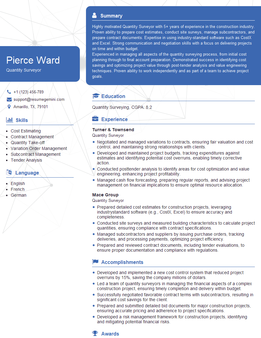
Quantity Surveyor Resume Sample
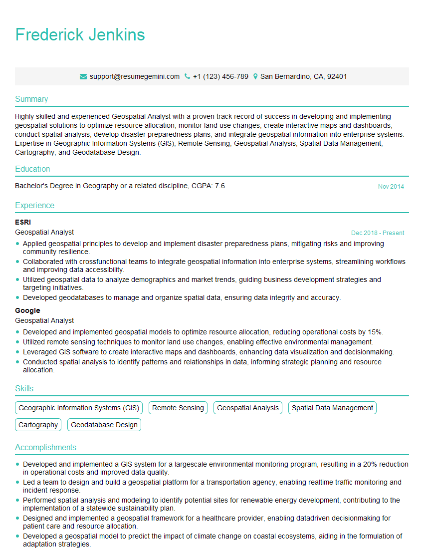
Geospatial Analyst Resume Sample
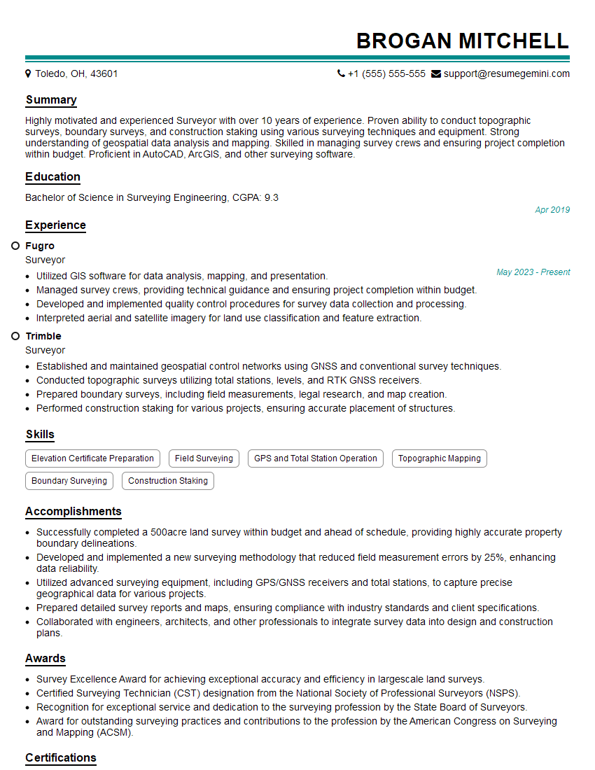
Surveyor Resume Sample
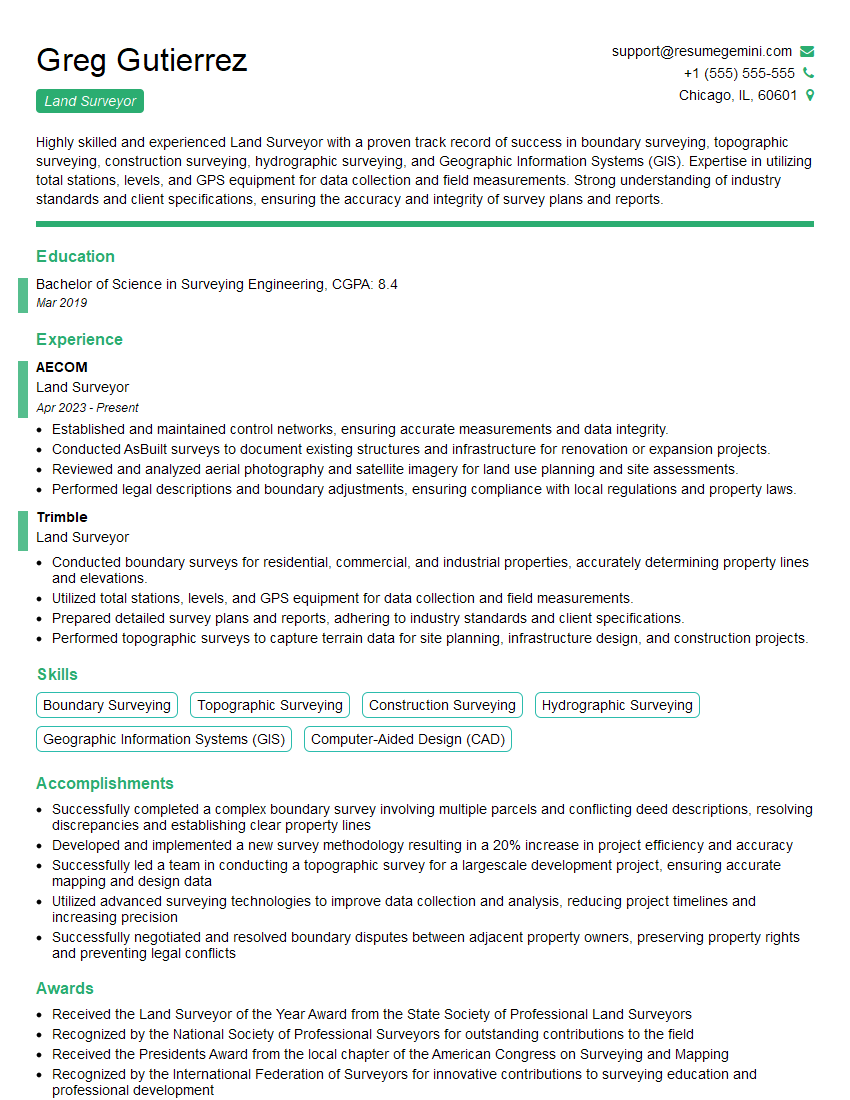
Land Surveyor Resume Sample
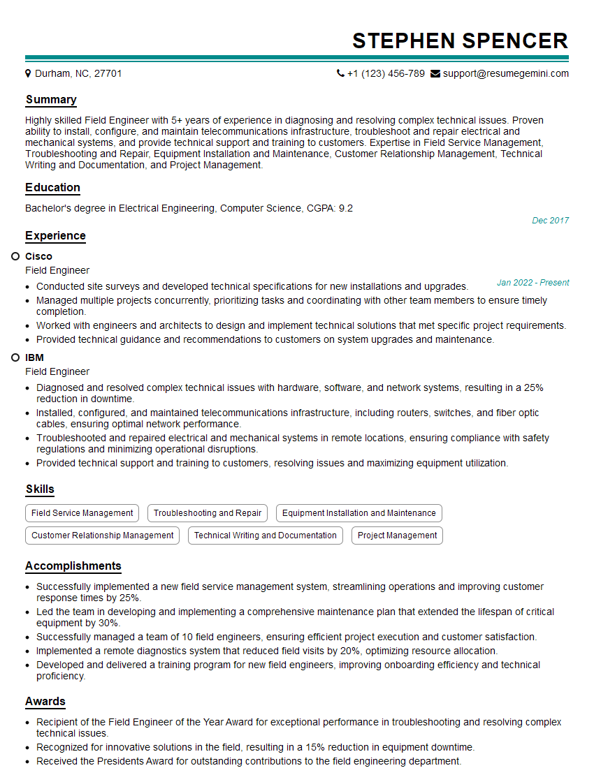
Field Engineer Resume Sample
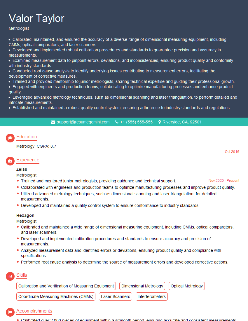
Metrologist Resume Sample
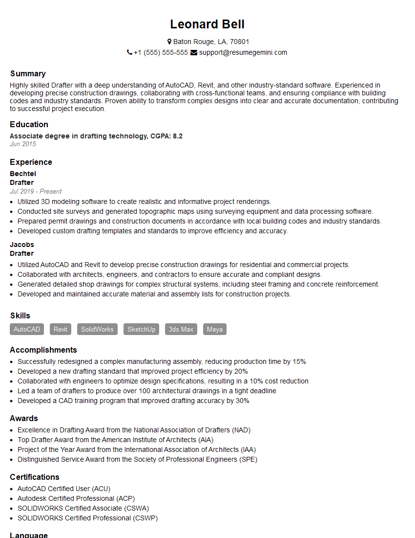
Drafter Resume Sample
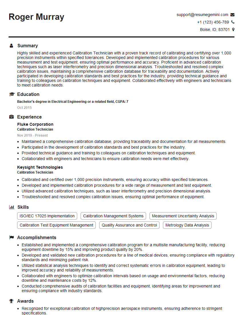
Calibration Technician Resume Sample
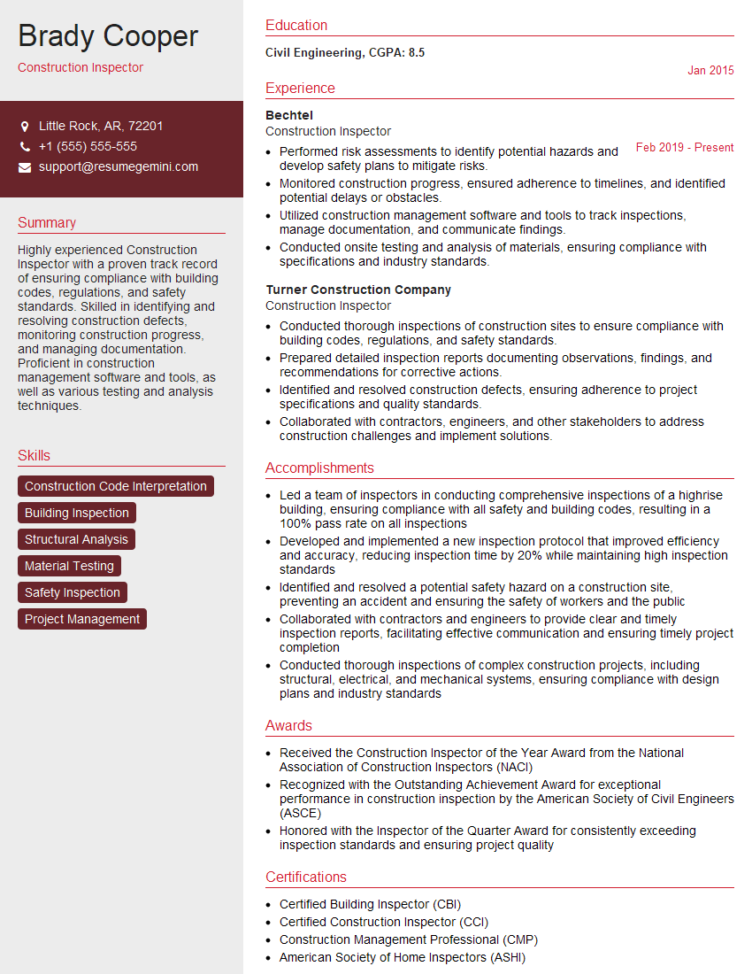
Construction Inspector Resume Sample
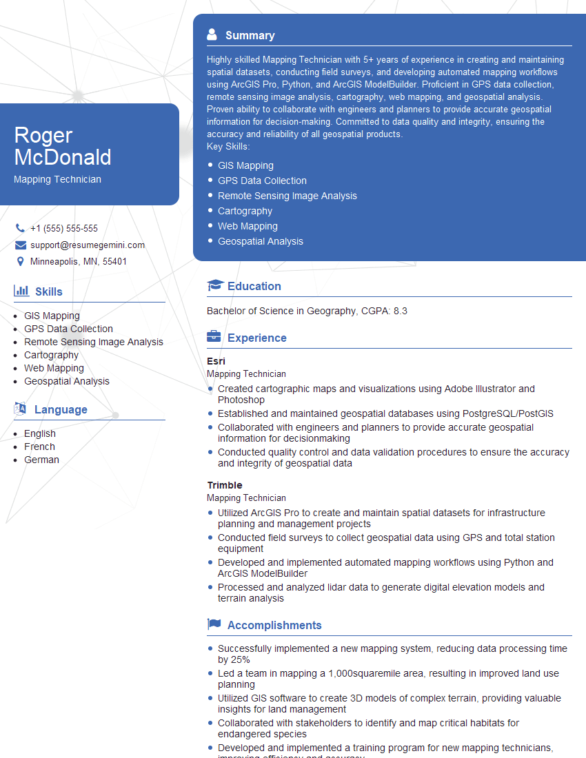
Mapping Technician Resume Sample

Quality Control Inspector Resume Sample
Explore more articles
Users Rating of Our Blogs
Share Your Experience
We value your feedback! Please rate our content and share your thoughts (optional).
What Readers Say About Our Blog
Amazing blog
Interesting Article, I liked the depth of knowledge you’ve shared.
Helpful, thanks for sharing.